Copper Canyon guide: the Chepe train, Creel, Divisadero, Urique, hiking, best time to go, and safety.
Copper Canyon (Barrancas del Cobre), in the Sierra Tarahumara of Chihuahua, is a canyon system so large it's compared to the Grand Canyon, and it's explored in a very Mexican way: on the Chepe train, between viewpoints, mountain towns, and trails that descend to villages at the bottom of the canyon.
The Essentials
- Where: Sierra Tarahumara, Chihuahua. The most popular base is Creel (at 2,338 m elevation).
- What it is: a system of several canyons, with the Urique canyon about 1,800 m deep at its lowest point.
- Altitude: in Creel you may notice mild altitude sickness during the first 12 to 24 hours.
- Emergencies: 911 and 078 (tourist assistance). The nearest large hospital is in Chihuahua City, 4 to 5 hours from Creel.
How Does It Compare to the Grand Canyon?
It's a common question. The Copper Canyon system spans tens of thousands of square kilometers, several times the area of Grand Canyon National Park (4,931 km²), and the Urique canyon is comparable to or somewhat deeper than the Grand Canyon. Exact figures vary depending on how the system is delimited, so it's best to think of it as "several times larger" rather than a single number.
Places Worth Visiting
- Creel: your base of operations. From here you can visit Lake Arareko, the Valley of the Mushrooms, and the Valley of the Monks (rock formations up to about 50 m tall, best at sunset).
- Cusárare: a waterfall about 23 km from Creel, with a 30 to 45 minute walk down.
- Divisadero: the main viewpoint over the canyon and a train stop. This is where you'll find the Barrancas del Cobre Adventure Park with its zip line and cable car.
- Cerocahui and Bahuichivo: a town with a Jesuit mission, waterfalls, and the Cerro Gallego viewpoint. Bahuichivo is the station for reaching Cerocahui and Urique.
- Urique: a village at the bottom of the canyon, at about 560 m. The classic route is to hike down from Cerocahui.
- Batopilas: a town at about 540 to 600 m elevation, 4 to 5 hours from Creel; it's usually done with overnight tours.
- Basaseachi Falls: a 246 m waterfall about 90 km from Creel. It has more flow from July to September.
The Chepe Train
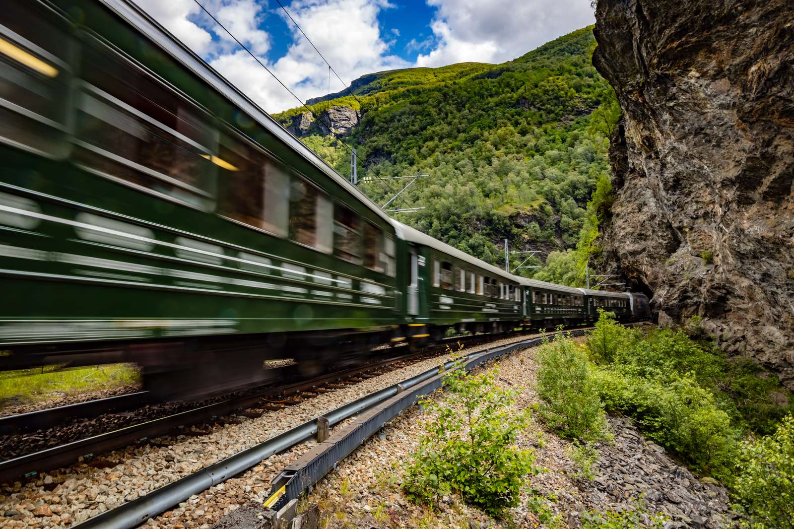
The Chepe connects the sierra with the Sinaloa coast. There are two services:
- Chepe Express: runs from Los Mochis to Creel, with five stations (Los Mochis, El Fuerte, Bahuichivo, Divisadero, and Creel) and about 9 hours of travel. It has Tourist, Executive, and First classes, and you can get off at any station and continue another day. High-season fares for 2026 start at about 3,000 to 3,500 MXN for a one-way ticket.
- Chepe Regional: connects Chihuahua with Los Mochis, with 16 stations, tourist class only, and about 14.5 hours of travel. It's cheaper and slower.
- The most spectacular stretch: Bahuichivo, Divisadero, and Creel.
- Reservations and schedules: only on the official site, chepe.mx. Service days and prices change by season, so confirm them there.
Adventure and Hiking
- Barrancas del Cobre Adventure Park (Divisadero): parquebarrancas.com offers zip lines, via ferrata, suspension bridges, and a cable car. We have a complete guide in our Zip Rider article.
- Hiking: the classic route descends from Cerocahui to Urique. There is also a roughly 7-day, 38-mile loop from Divisadero, in season from late November to mid-March.
- Ultra Caballo Blanco: an ultramarathon in Urique held every year around March, with distances of 21, 42, 80, and 160 km. Check dates at truemessages.org.
- Important: in the sources we consulted, we could not verify rappelling or mountain biking operators in the area. Ask at your hotel or the Creel tourism office and book with local guides.
When to Go
- May and June: warm days (15 to 25 °C up top), clear views, and good hiking at the bottom, where the heat bears down.
- July to September: afternoon rains, full waterfalls, and green scenery.
- October and November: cool days (5 to 15 °C) and clear skies.
- December to February: very cold nights (−10 to −15 °C) and possible snow.
What to Bring
- Layered clothing and a rain jacket.
- Trekking footwear.
- Plenty of water and sunscreen.
- Cash: cell coverage is poor and there are few ATMs outside Creel.
- Travel insurance with medical evacuation.
Safety and Travel Advisory
The U.S. Department of State rates Chihuahua at Level 3: Reconsider Travel, and Sinaloa at Level 4: Do Not Travel (advisory dated May 29, 2026). This matters because Los Mochis and El Fuerte, where the Chepe Express begins, are in Sinaloa. Travelers usually do this trip by train or by air and on guided tours. Practical recommendations: avoid driving at night on back roads, use toll highways during the day, and hire local guides for Batopilas and remote trails. Read the official advisory before booking.
Sources
Topics
Plan your trip
Inspired by this article?
Use our interactive map and AI planner to create your perfect Mexico itinerary.
Open the interactive map →Newsletter
Get Mexico travel tips in your inbox
Weekly guides, hidden gems and local recommendations. No spam.